Home to elegant Victorian brick row houses, many dating from the 1800s, and one of the most diverse populations in Boston, the South End blends many of the best elements of the city. Some of the city's finest dining can be found lining Tremont Street and the arts shine at the Calderwood Pavilion and the Boston Center for the Arts.
Geography
The South End lies south of the Back Bay, northwest of South Boston, northeast of Roxbury, north of Dorchester, and southwest of Bay Village. Despite the name, it is not directly south of the center of downtown Boston.
The neighborhood is built upon a former tidal marsh, a part of a larger project of the filling of Boston's Back Bay (north and west of Washington Street) and South Bay (south and east of Washington Street), from the 1830s to the 1870s. Fill was brought in by trains from large trenches of gravel excavated in Needham, Massachusetts. The South End was filled and developed first, before the Back Bay which was mostly built after the American Civil War. Nineteenth century technology did not allow for driving steel piles into bedrock and instead a system of submerged timbers provided an understructure for most South End buildings. Recent decreases in underground water levels has caused damage to some wood pilings by exposing them to air. A series of monitoring wells have been drilled and the water level is now checked, and can be adjusted by the introduction of water.
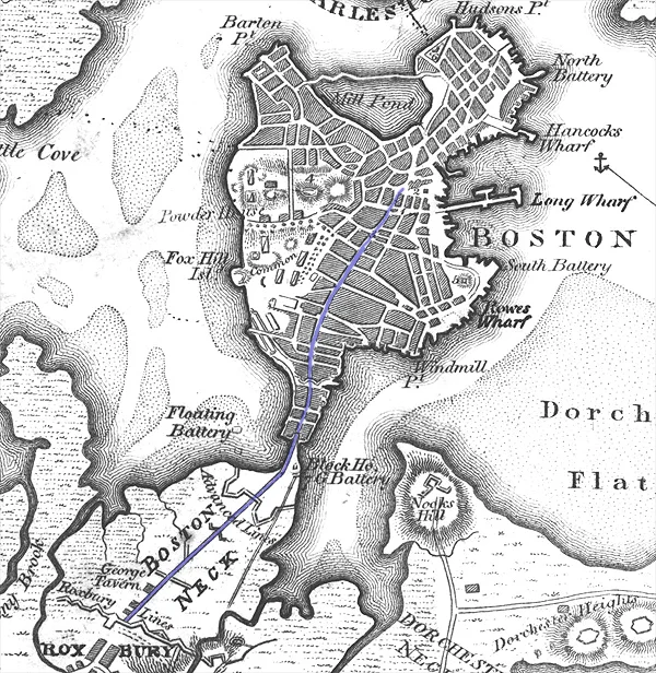
Boston Neck.
The South End was once bordered to the north and west by the Boston and Providence Railroad, which terminated at the B&P RR Station bordering the Public Garden. The railroad line is now covered by the Southwest Corridor Park and terminates at Back Bay Station. Most of the cross streets in the neighborhood are named after cities and towns served by it or by the Boston and Albany Railroad: Greenwich, Newton, Canton, Dedham, Brookline, Rutland, Concord, Worcester, Springfield, Camden, Maine, Northampton, Sharon, Randolph, Plympton, Stoughton, Waltham, Dover, Chatham, and Wareham.
The primary business thoroughfares of the South End are Tremont and Washington Streets, from West Newton Street to Berkeley Street. Washington Street, the original causeway that connected Roxbury to Boston, experienced considerable reinvestment in the 1990s. The street was once defined by the Washington Street Elevated, an elevated train that was moved to below Southwest Corridor Park in the 1980s. Today Washington is the route of the Silver Line, Boston's first bus rapid transit line. Columbus Avenue, the third main street of the South End, also has numerous restaurants and provides a remarkable straight-line view to the steeple of Park Street Church. Today the modern MBTA Orange Line rapid transit train runs along the partially covered Southwest Corridor, with neighborhood stops at Back Bay (also an MBTA Commuter Rail stop due to its proximity to the Copley Square employment center) and Massachusetts Avenue.
Architecture and Environment
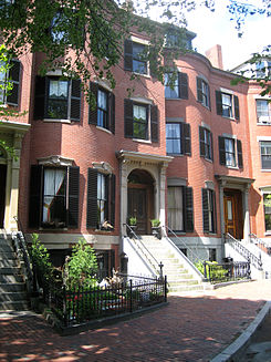
The South End is built mostly of mid-nineteenth century bowfronts — aesthetically uniform rows of five-story, predominantly red-brick structures, of mixed residential and commercial uses. The most common styles are Renaissance Revival, Italianate and French Second Empire, though there are Greek Revival, Egyptian Revival, Gothic Revival, and Queen Anne style houses, among several other styles. Row houses built in the last quarter of the nineteenth century, especially along the present Southwest Corridor Park show the influence of Charles Eastlake in the incised decoration on stone trim. Despite the style, a common palette of red brick, slate, limestone or granite trim, and cast iron railings provide great visual unity. Today, the South End is listed on the National Register of Historic Places and is a Boston Landmark District. It is North America's largest extant Victorian residential district. A citizens' group, The South End Historical Society, works with the Boston Landmarks Commission, on matters of historic preservation.
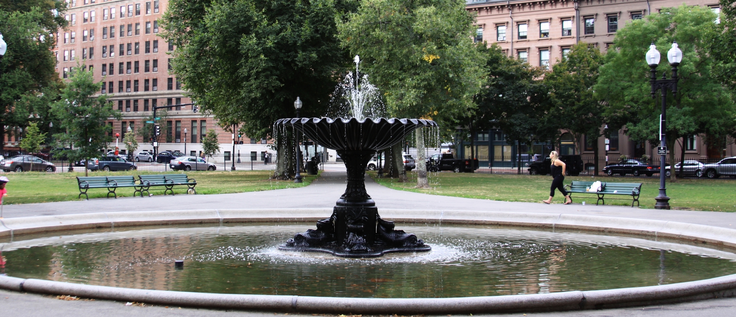
A series of eleven residential parks are located across the South End, most are elliptical in shape with passive-use green space located in the middle. These residential squares vary in size, and take inspiration from English-inspired residential squares first laid out by Charles Bulfinch downtown. Many of the parks have a central fountain and are bordered with cast iron fencing. Complementing the nineteenth century residential parks are several newer parks, and a series of sixteen community gardens and pocket parks operated by the South End Lower Roxbury Open Space Land Trust.